17 projects across GIS, machine learning, remote sensing, and software development.
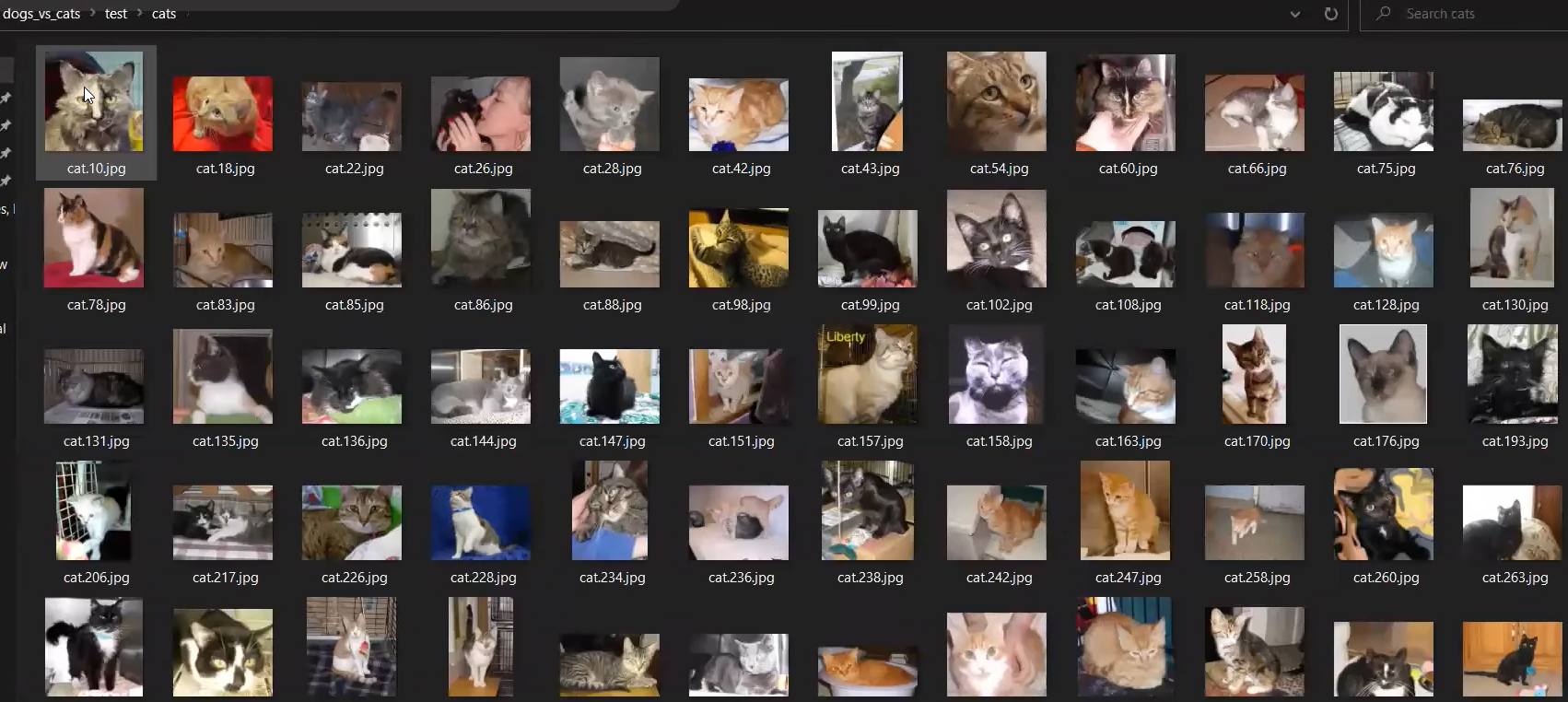
Deep learning model for image classification using Keras and TensorFlow with CNN architecture
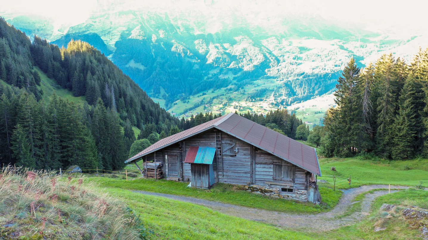
Photogrammetry project creating 3D reconstruction from aerial imagery using AgiSoft Metashape
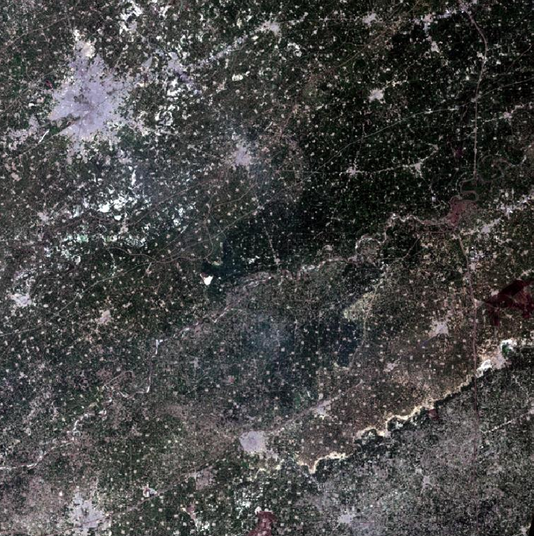
Remote sensing analysis using satellite imagery to identify and analyze wheat crop areas with Erdas Imagine
Comprehensive GIS analysis combining DEM, NDVI, and infrastructure data for landslide risk assessment
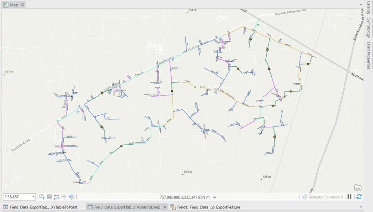
Electric utility network modeling and spatial analysis using ArcGIS Pro and Python scripting
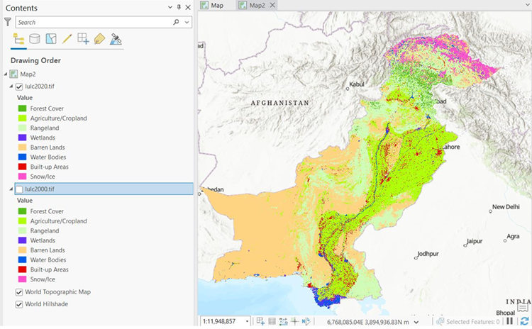
Land use/land cover change analysis quantifying forest loss over 20 years using Pakistan's 30m dataset
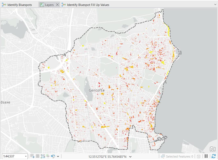
GIS modeling for flood-prone area identification and building risk assessment using bluespot analysis
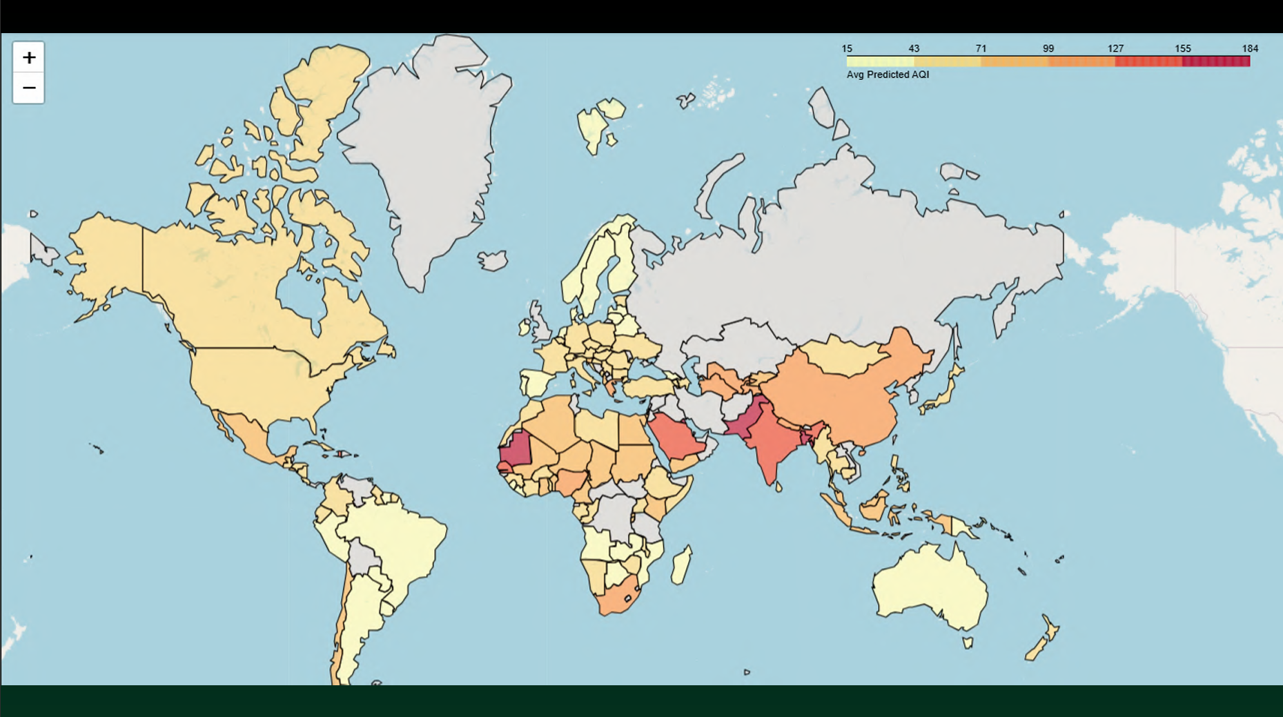
Machine learning project predicting AQI using multiple pollutants with interactive visualization
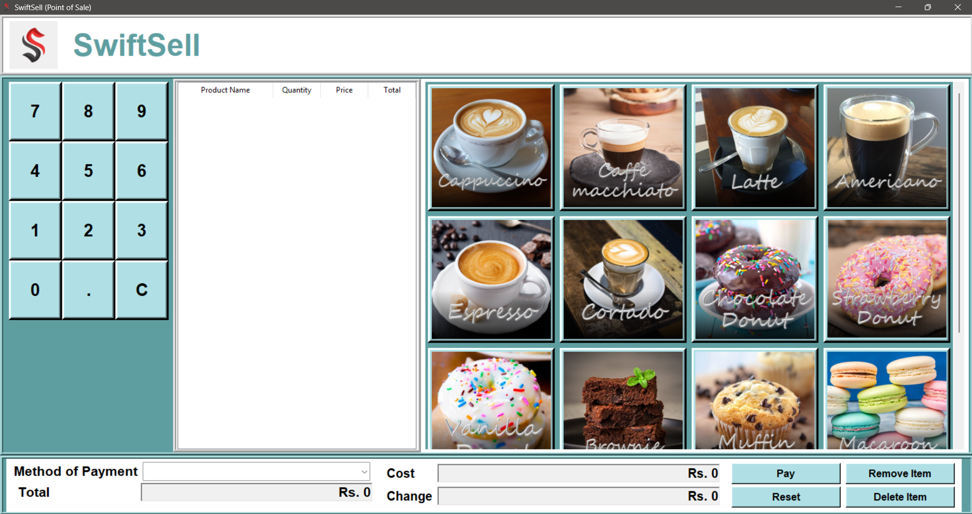
Functional POS system built with Python and Tkinter implementing data structures and algorithms
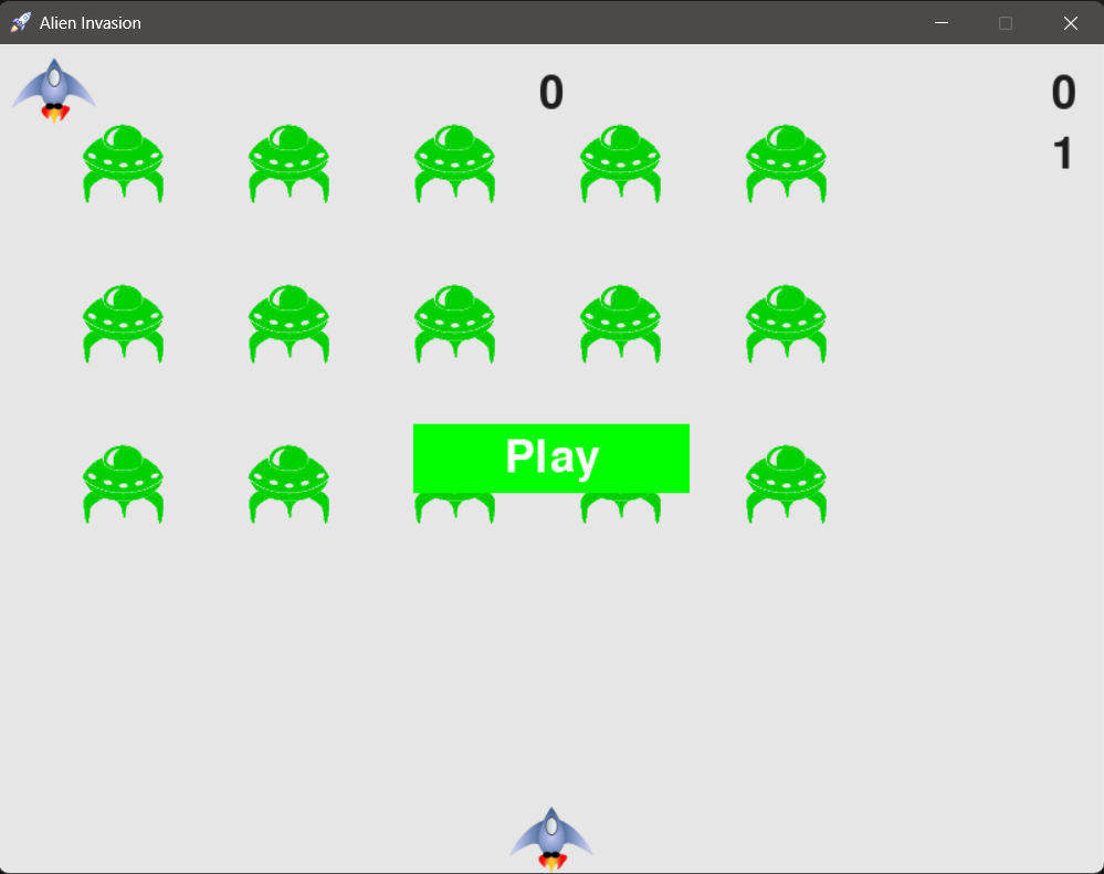
Interactive game developed with Python and Pygame applying object-oriented programming principles
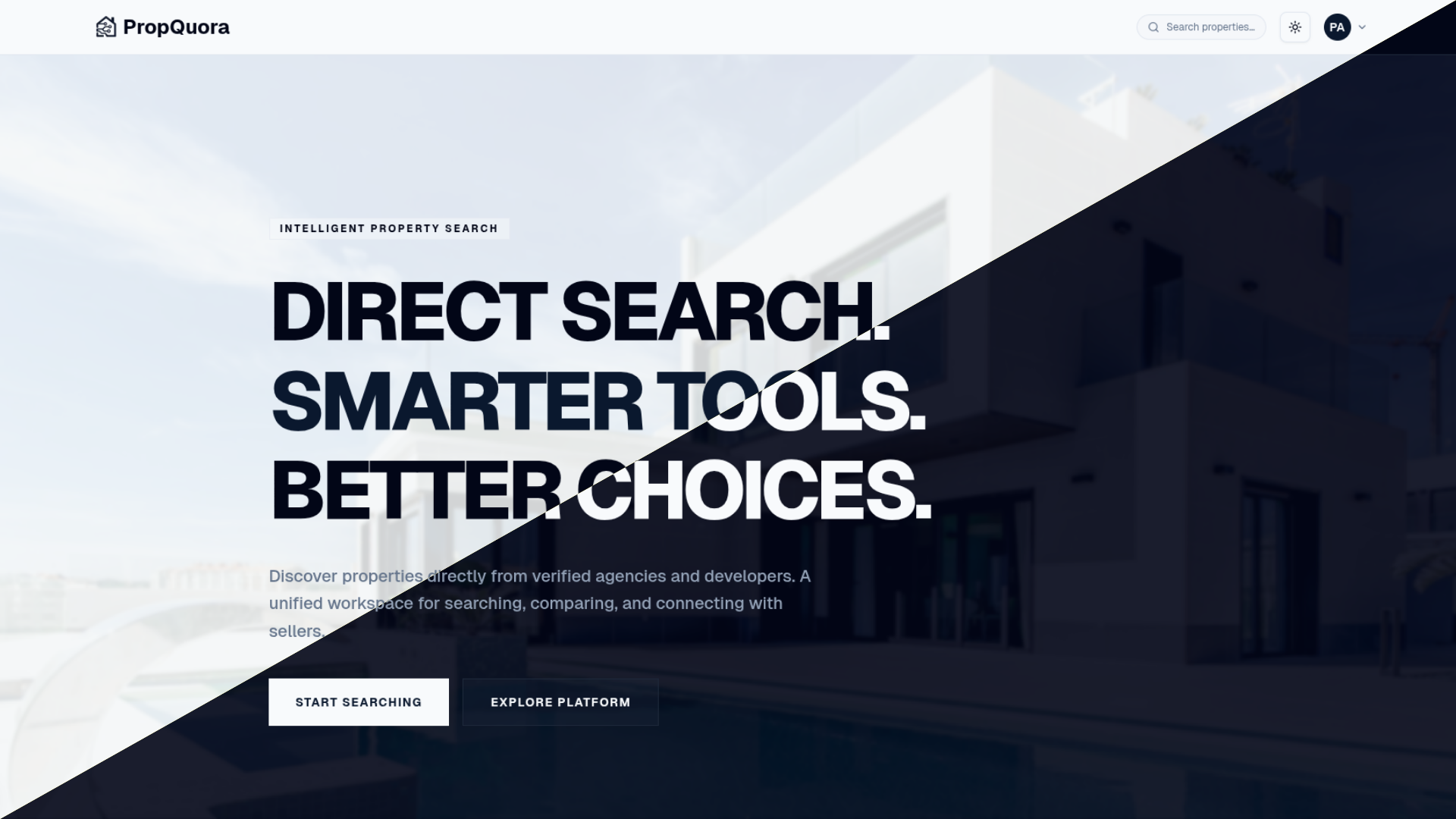
Production-grade real estate SaaS with conversational AI search, PostGIS map queries, and Gemini-grounded responses
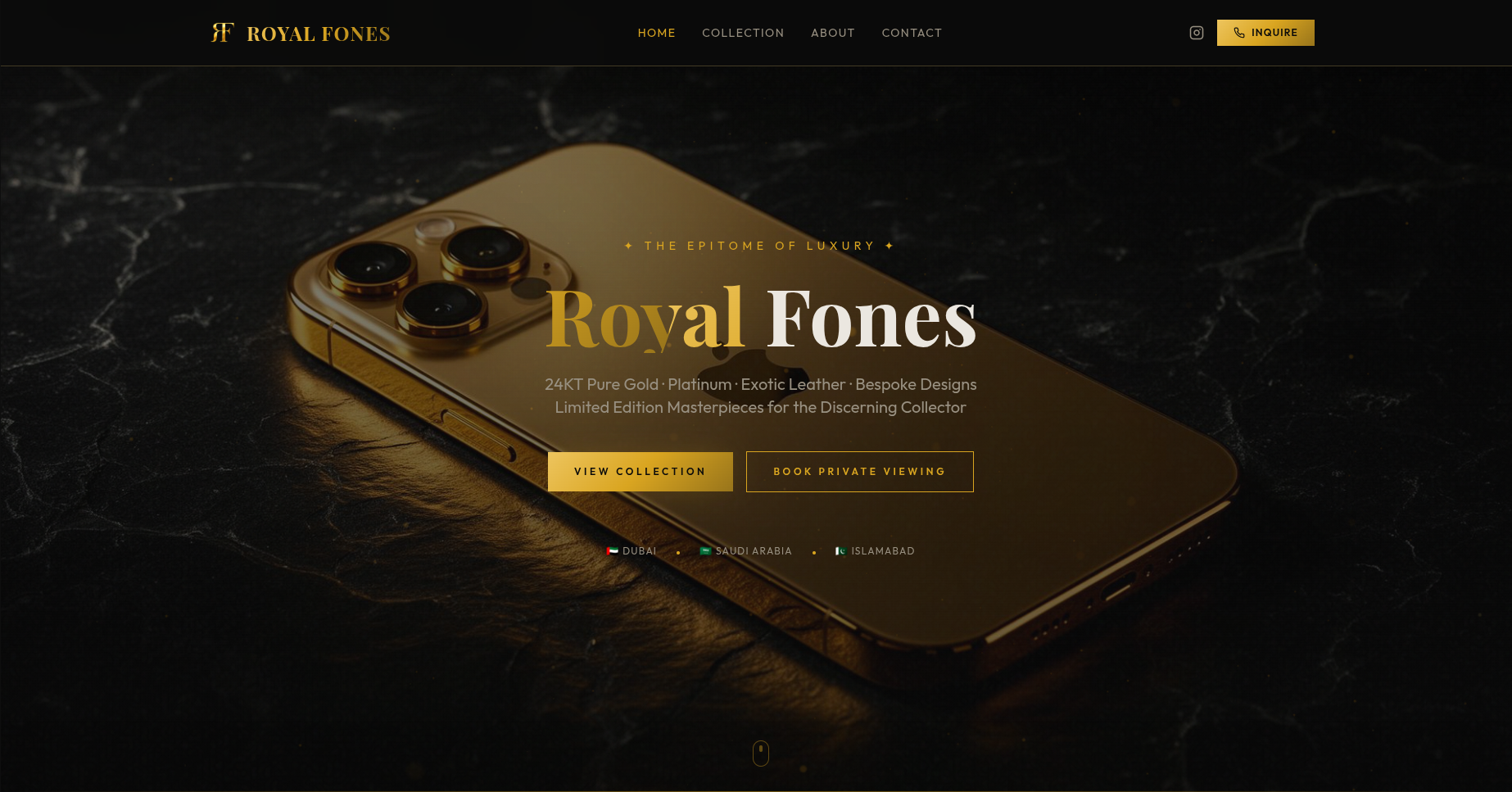
Real-time 3D bespoke phone design studio with per-component PBR materials, live pricing, and WhatsApp order flow
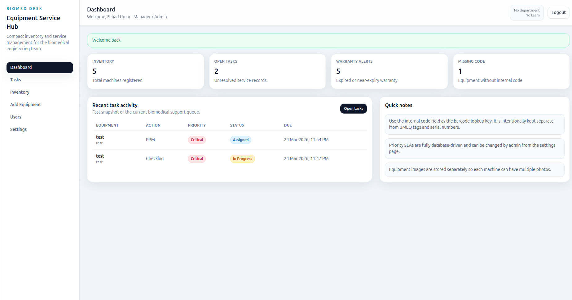
PHP-based biomedical inventory and service request platform with barcode lookup, task assignment, and role-based workflows
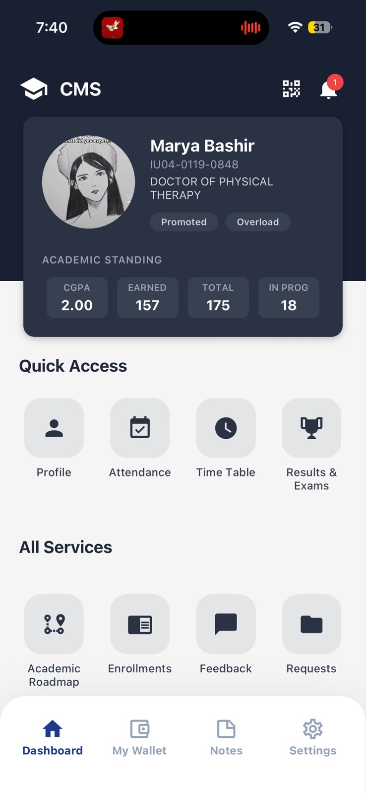
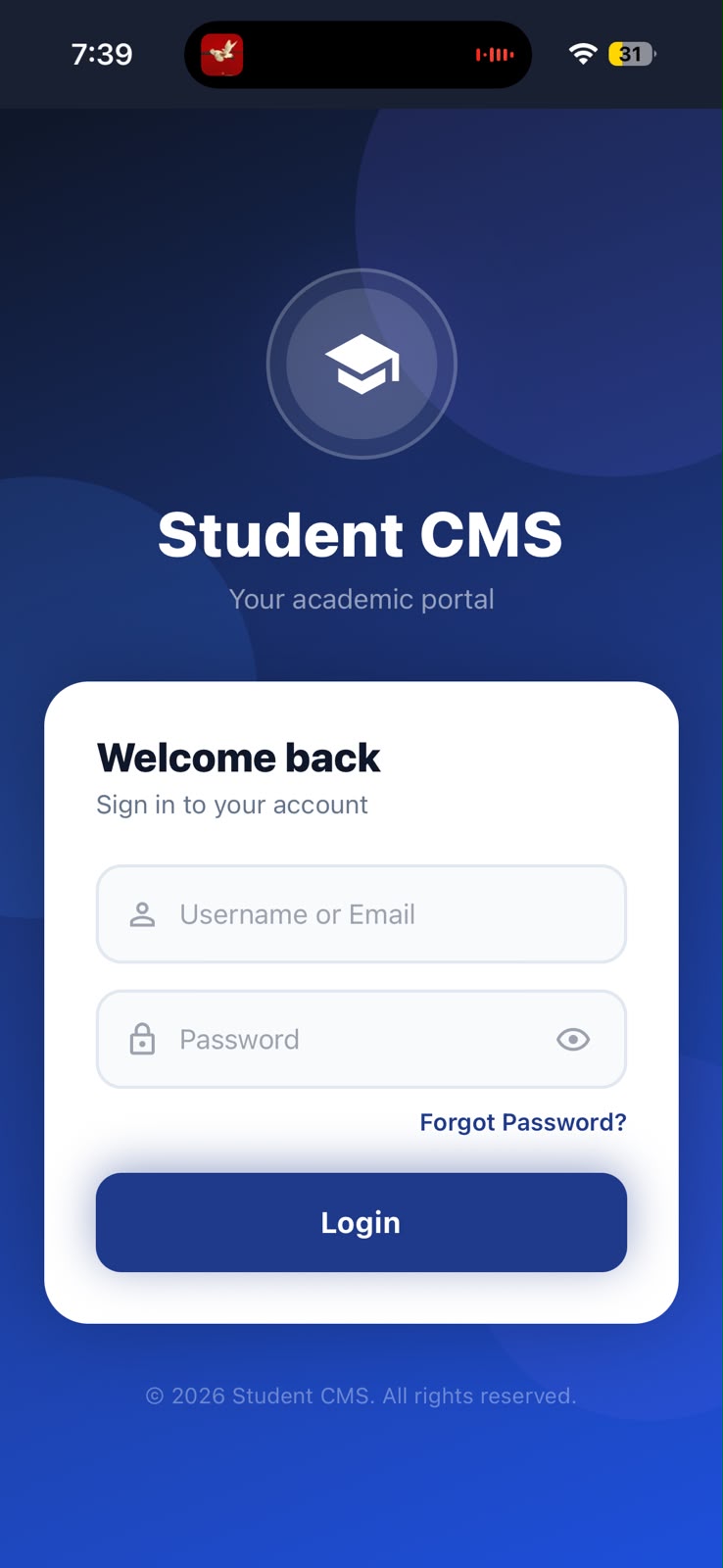
Production cross-platform mobile app connecting university students to a live Odoo 15 ERP via a custom REST API
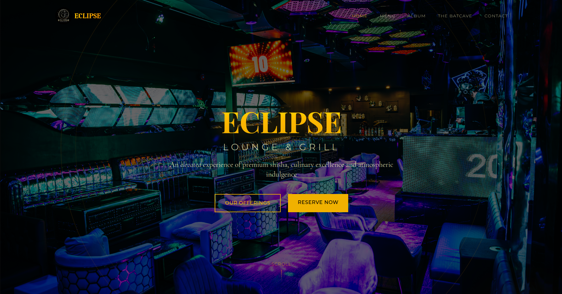
Premium hospitality website with immersive animations, SEO, Google Analytics 4, and full responsive design for a Canadian fine dining venue
Premium B2B apparel manufacturing website with animated UI, interactive price calculator, and service showcases
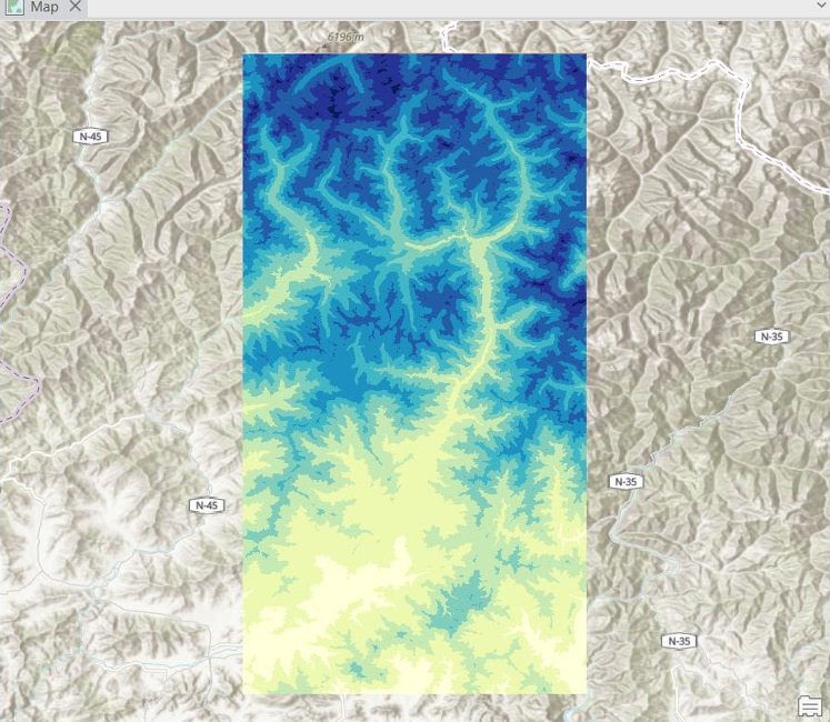
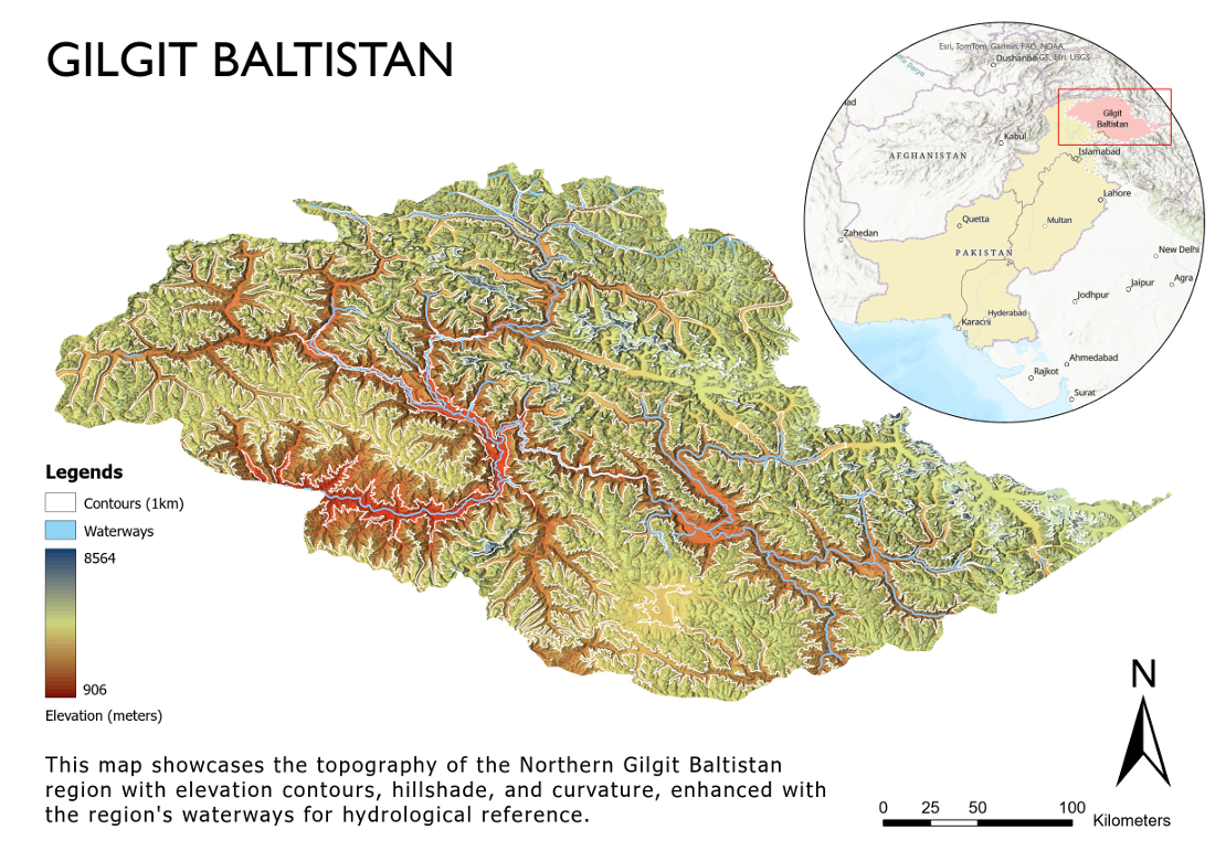
Cartography collection featuring population density, river systems, and topographic visualizations