2024ArcGIS Pro
Landslide Susceptibility Mapping
Comprehensive GIS analysis combining DEM, NDVI, and infrastructure data for landslide risk assessment
ArcGIS ProSpatial AnalysisRisk AssessmentGISRemote SensingData Visualization
Landslide Susceptibility Mapping
Overview
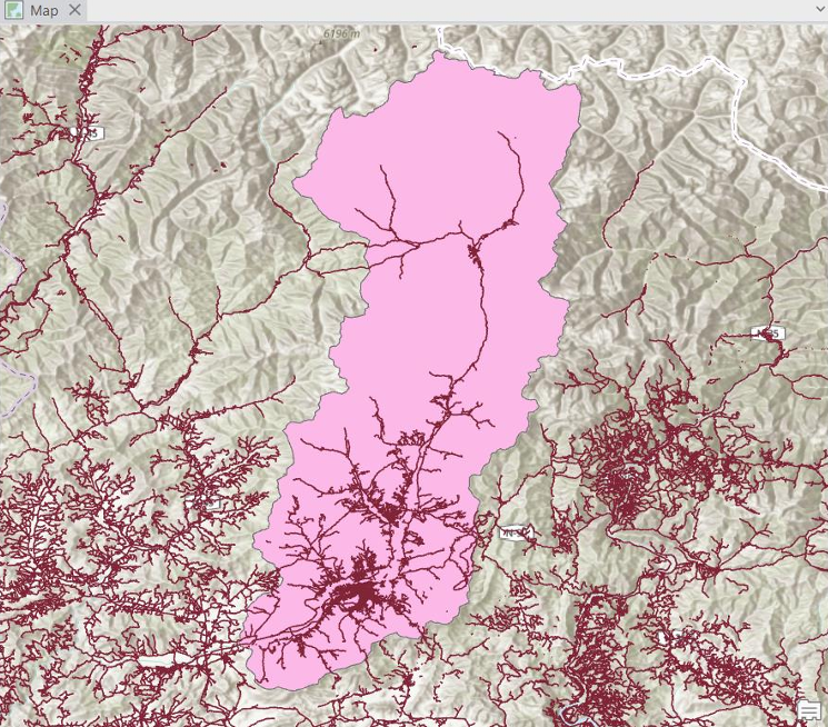
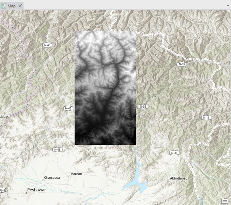
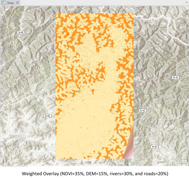
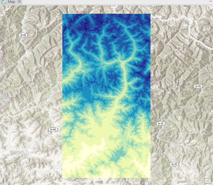
Developed a complete landslide susceptibility mapping workflow using ArcGIS Pro. Combined DEM preprocessing (fill, flow direction/accumulation), NDVI from Sentinel bands, Euclidean distance layers for roads and streams, and stream extraction. Applied weighted overlay analysis using NDVI, DEM, rivers, and roads to generate comprehensive risk zones for landslide susceptibility assessment.
Project Gallery