2024Photogrammetry
3D Model of House using Drone Images
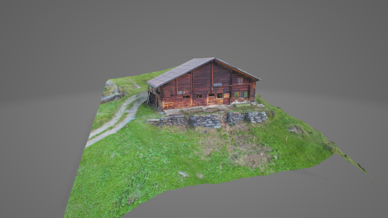
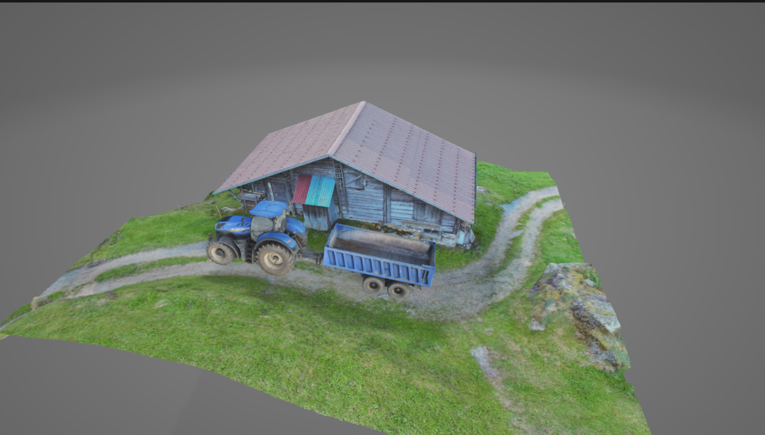
Photogrammetry project creating 3D reconstruction from aerial imagery using AgiSoft Metashape
PhotogrammetryAgiSoft Metashape3D ModelingSpatial AnalysisGIS
3D Model of House using Drone Images
Overview
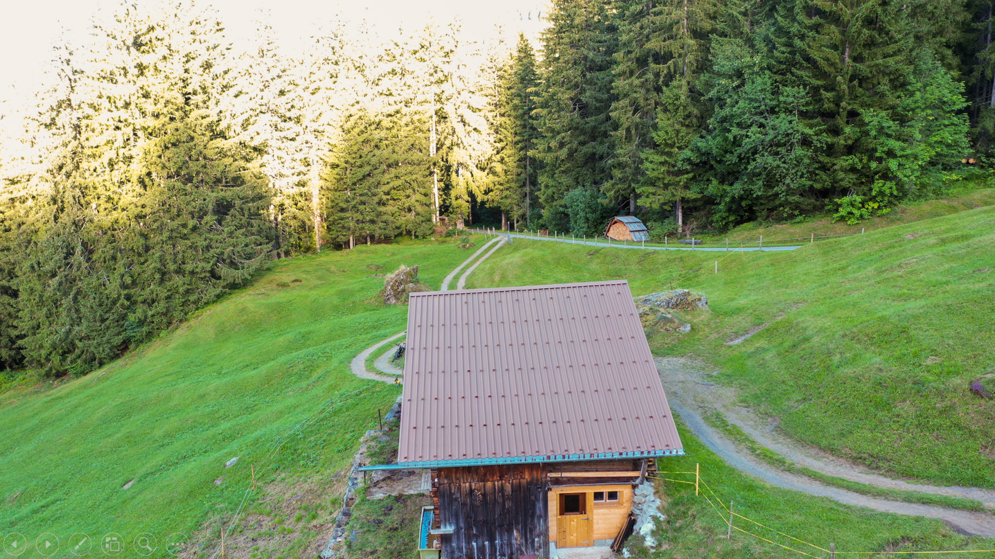
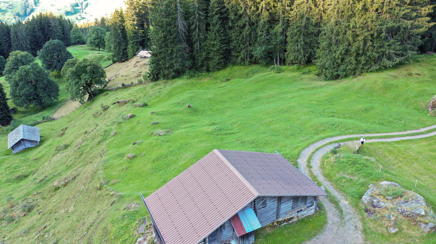
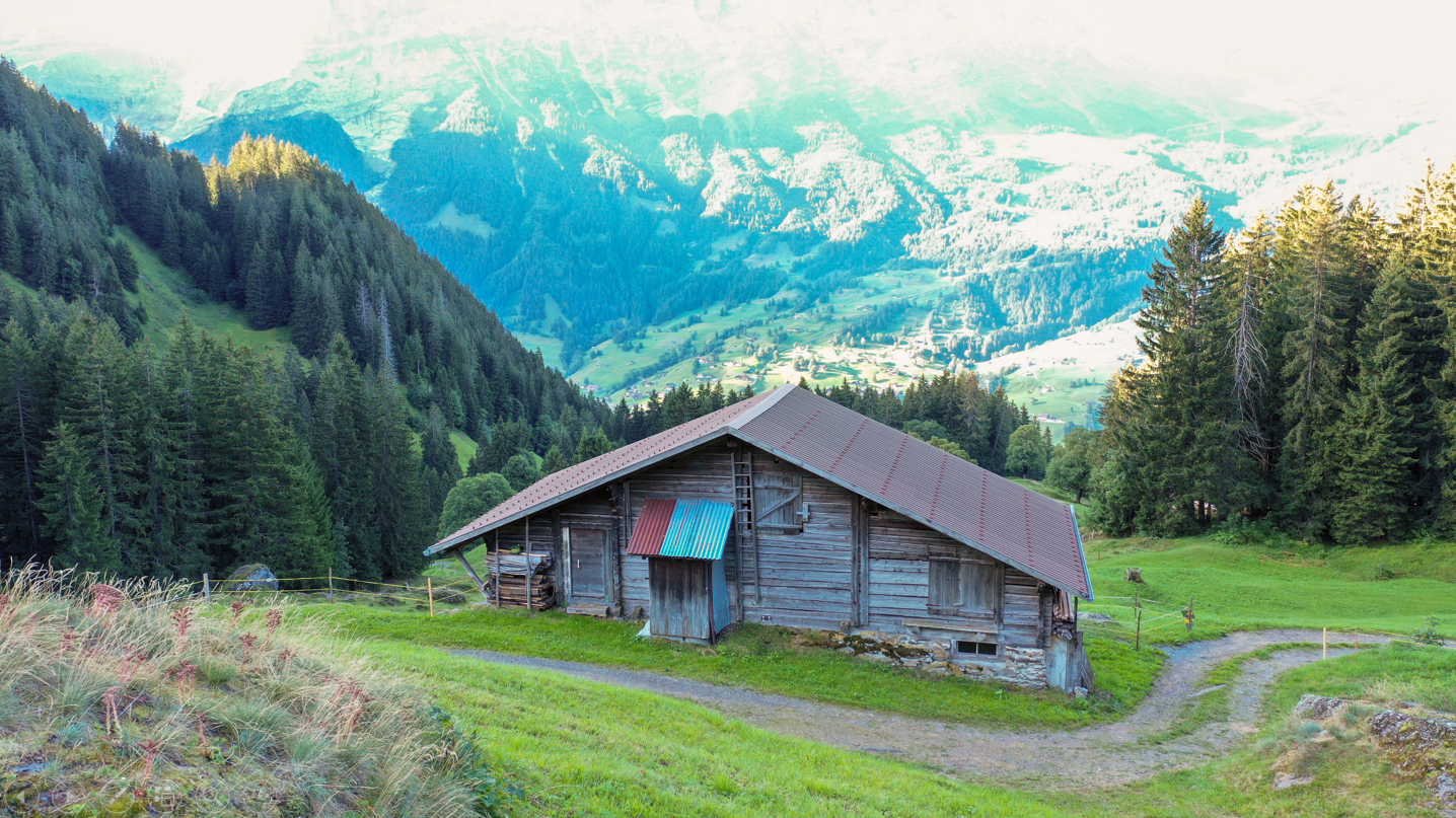
Created accurate 3D models of buildings using drone-captured images and AgiSoft Metashape for photogrammetry processing. The project involved processing aerial images, point cloud generation, mesh creation, and texture mapping to produce high-quality 3D reconstructions. Applied advanced photogrammetry techniques for geospatial modeling.
Project Gallery