2024ArcGIS Pro
Utility Network Analysis
Electric utility network modeling and spatial analysis using ArcGIS Pro and Python scripting
ArcGIS ProPythonNetwork AnalysisSpatial AnalysisGISData Visualization
Utility Network Analysis
Overview
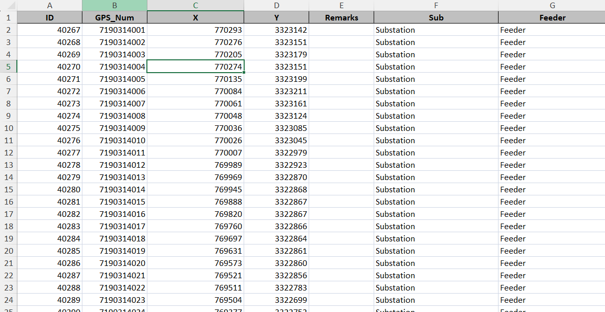
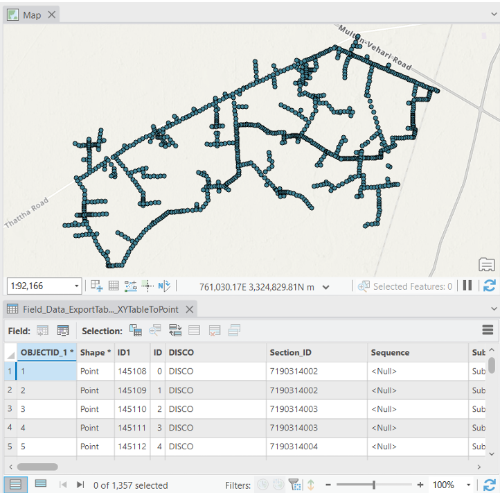
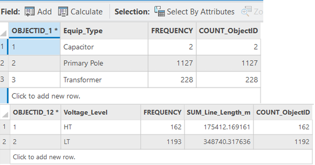
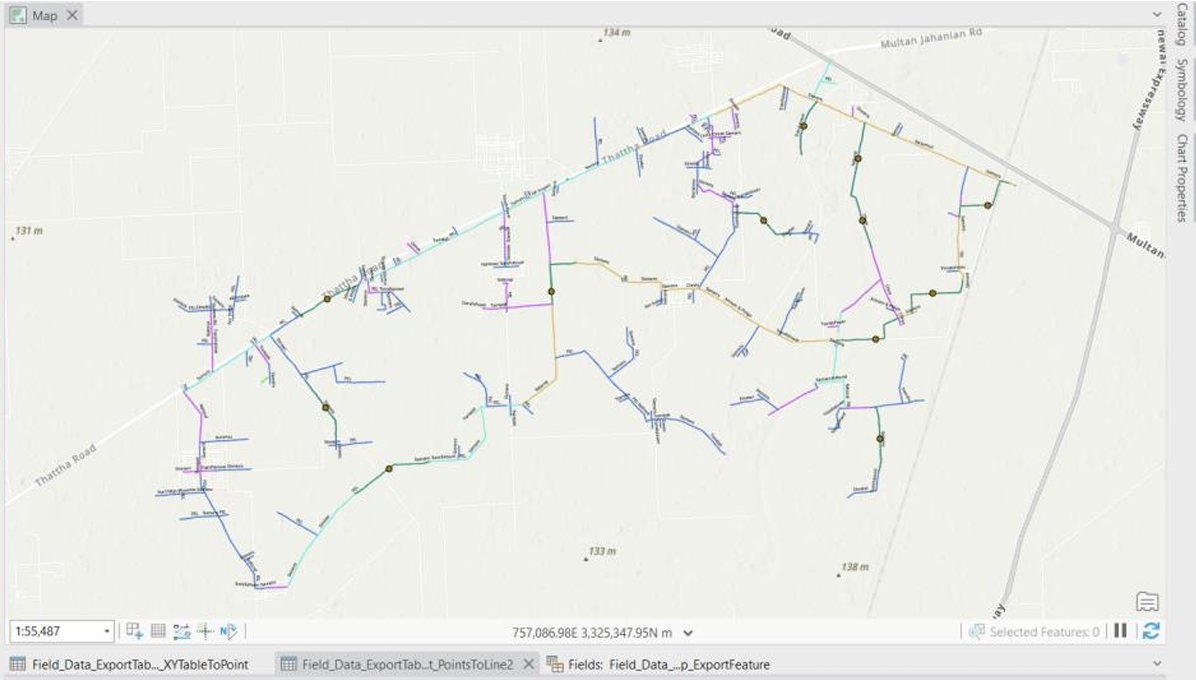
Constructed comprehensive electric utility network models using ArcGIS Pro. Implemented field table joins, XY coordinate conversion to UTM Zone 42N, Python arcpy scripting for Section_ID computation, and point-to-line conversions. Performed spatial queries, calculated network statistics by conductor type and voltage levels, and generated bifurcation analysis for network optimization.
Project Gallery