2023Remote Sensing
Mapped Wheat-Cropped Areas using Remote Sensing Data
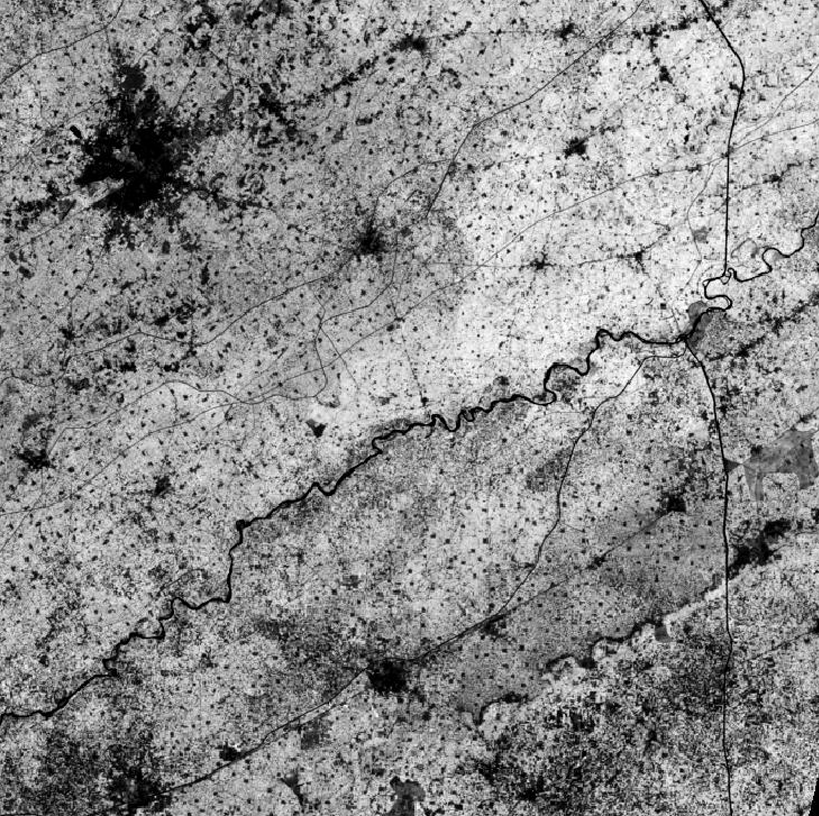
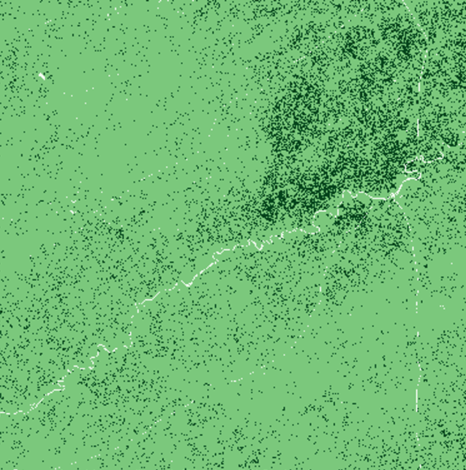
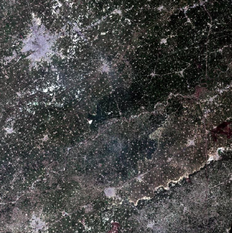
Remote sensing analysis using satellite imagery to identify and analyze wheat crop areas with Erdas Imagine
Remote SensingErdas ImagineGISSpatial AnalysisData VisualizationEnvironmental Analysis
Mapped Wheat-Cropped Areas using Remote Sensing Data
Overview
Utilized satellite imagery from Landsat 8/9 and Sentinel satellites to extract and analyze green vegetative cover, specifically separating wheat from other crops. Performed advanced spatial and spectral enhancements using Erdas Imagine to generate accurate acreage estimates and crop health insights. Applied remote sensing techniques for agricultural monitoring and precision farming applications.
Project Gallery